
Thank you for supporting this site ❤️
Make a donation
Make a donation
Gear up for your next adventure:
As an Amazon Associate, this site earns from qualifying purchases at no extra cost to you.
Zagrajden topographic map
Click on the map to display elevation.
Thank you for supporting this site ❤️
Make a donation
Make a donation
Gear up for your next adventure:
As an Amazon Associate, this site earns from qualifying purchases at no extra cost to you.
About this map
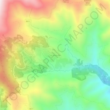
Name: Zagrajden topographic map, elevation, terrain.
Location: Zagrajden, Banite, Smolyan, Bulgaria (41.69945 24.97613 41.73945 25.01613)
Average elevation: 1,126 m
Minimum elevation: 790 m
Maximum elevation: 1,557 m
Thank you for supporting this site ❤️
Make a donation
Make a donation
Gear up for your next adventure:
As an Amazon Associate, this site earns from qualifying purchases at no extra cost to you.