Geolocate

Chua Chua topographic map

Click on the map to display elevation.

About this map

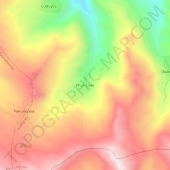
Name: Chua Chua topographic map, elevation, terrain.

Location: Chua Chua, Kosñipata, Province of Paucartambo, Cusco, Peru (-13.45913 -71.33853 -13.41913 -71.29853)

Average elevation: 4,493 m

Minimum elevation: 4,047 m

Maximum elevation: 4,812 m

Other topographic maps

Click on a map to view its topography, its elevation and its terrain.

Gear up for your next adventure:

🧥Packable Rain Jacket - Breathable waterproof layer for unpredictable weather
🧢Beanie Hat - Keep your head warm in cold weather
🥾Hiking Gaiters - Protect legs and shoes from mud, snow, and debris
🍽️Titanium Camping Spork - Ultralight and indestructible eating utensil
🧢Outdoor Visor - Breathable visor for sunny hikes

As an Amazon Associate, this site earns from qualifying purchases at no extra cost to you.