Geolocate

Sector 30 topographic map

Click on the map to display elevation.

About this map

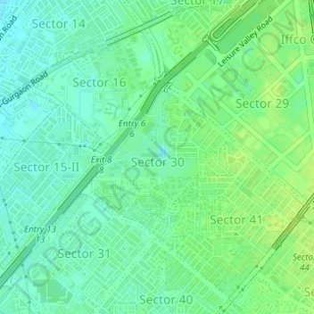
Name: Sector 30 topographic map, elevation, terrain.

Location: Sector 30, Gurgaon, Gurugram, Haryana, 122022, India (28.45582 77.04977 28.46874 77.06399)

Average elevation: 232 m

Minimum elevation: 224 m

Maximum elevation: 240 m

Other topographic maps

Click on a map to view its topography, its elevation and its terrain.

Sohna

India > Haryana > Gurugram

Average elevation: 229 m

Ghamroj

India > Haryana > Gurugram

Average elevation: 245 m

Gear up for your next adventure:

🚲Heavy Duty Bike Lock - Secure your bike at the trailhead or during stops
Backpacking Tent - Lightweight tent for long-distance hiking trips
🧴First Aid Kit - Essential first aid supplies for outdoor emergencies
💡Solar Camping Lamp - Eco-friendly lighting for campsites
🎒Hiking Backpack - Lightweight and ergonomic backpacks for day hikes or multi-day treks

As an Amazon Associate, this site earns from qualifying purchases at no extra cost to you.