Geolocate

Bovina topographic map

Click on the map to display elevation.

About this map

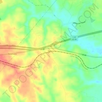
Name: Bovina topographic map, elevation, terrain.

Location: Bovina, Warren County, Mississippi, United States (32.33209 -90.75482 32.37209 -90.71482)

Average elevation: 65 m

Minimum elevation: 36 m

Maximum elevation: 94 m

Other topographic maps

Click on a map to view its topography, its elevation and its terrain.

Vicksburg

United States > Mississippi > Warren County

Average elevation: 51 m

Gear up for your next adventure:

🧰Multitool Knife - Compact and versatile tool for outdoor use
🥾Waterproof Hiking Boots - Boots keeping your feet dry in wet conditions
🧰Emergency Multi-Tool - Compact multi-tool for outdoor survival
🥾Durable Hiking Shoes - Long-lasting shoes for frequent hiking
👟Sport Hiking Sandals - Breathable footwear for water crossings and camp rest

As an Amazon Associate, this site earns from qualifying purchases at no extra cost to you.