
Bergheim topographic map
Click on the map to display elevation.
Bergheim
Bergheim is an unincorporated community in eastern Kendall County, Texas, United States known for its German-Texan culture and heritage. It lies along State Highway 46 east of the city of Boerne, the county seat of Kendall County. Its elevation is 1,437 feet (438 m). Although Bergheim is unincorporated, it has a post office, with the ZIP code of 78004; the ZCTA for ZIP Code 78004, consisting mostly of rural land, had a population of 1,183 at the 2010 census. The community is part of the San Antonio metropolitan statistical area. Bergheim is still a predominantly a ranching and agricultural community.
About this map
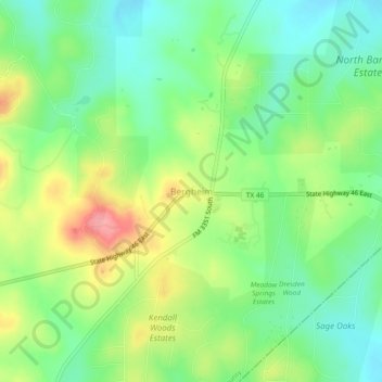
Name: Bergheim topographic map, elevation, terrain.
Location: Bergheim, Kendall County, Texas, United States (29.80744 -98.59530 29.84744 -98.55530)
Average elevation: 419 m
Minimum elevation: 380 m
Maximum elevation: 481 m
Other topographic maps
Click on a map to view its topography, its elevation and its terrain.