
Aartswoud topographic map
Interactive map
Click on the map to display elevation.
About this map
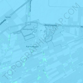
Name: Aartswoud topographic map, elevation, terrain.
Location: Aartswoud, Opmeer, Nordholland, Niederlande (52.73472 4.93319 52.75530 4.99686)
Average elevation: -2 m
Minimum elevation: -6 m
Maximum elevation: 1 m
Other topographic maps
Click on a map to view its topography, its elevation and its terrain.
Hoogwoud
Niederlande > Nordholland > Opmeer
Hoogwoud, Opmeer, Nordholland, Niederlande
Average elevation: -1 m
Wijzend
Niederlande > Nordholland > Opmeer
Wijzend, Opmeer, Nordholland, Niederlande, 1716DH, Niederlande
Average elevation: -1 m