
Hoogwoud topographic map
Interactive map
Click on the map to display elevation.
About this map
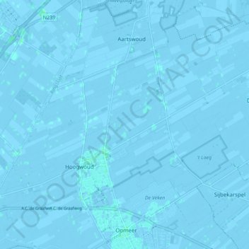
Name: Hoogwoud topographic map, elevation, terrain.
Location: Hoogwoud, Opmeer, Nordholland, Niederlande (52.70014 4.89867 52.74983 4.98381)
Average elevation: -1 m
Minimum elevation: -5 m
Maximum elevation: 2 m
Other topographic maps
Click on a map to view its topography, its elevation and its terrain.
Aartswoud
Niederlande > Nordholland > Opmeer
Aartswoud, Opmeer, Nordholland, Niederlande
Average elevation: -2 m