Geolocate

Rotherwick topographic map

Click on the map to display elevation.

About this map
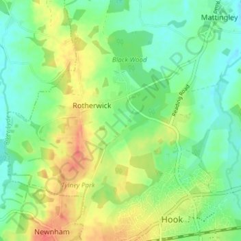
Name: Rotherwick topographic map, elevation, terrain.

Location: Rotherwick, Hart, Hampshire, England, United Kingdom (51.28369 -1.00230 51.31411 -0.94070)

Average elevation: 74 m

Minimum elevation: 54 m

Maximum elevation: 103 m

Gear up for your next adventure:

🥾Waterproof Trail Shoes - Shoes designed to handle wet terrain
🚲Bike Repair Kit - Essential tools for on-trail mechanical issues
🧢Outdoor Visor - Breathable visor for sunny hikes
🎒Fully Waterproof Backpack - Total protection for photography gear and electronics
🛶Canoe Life Vest - Safety vest for water sports

As an Amazon Associate, this site earns from qualifying purchases at no extra cost to you.