Geolocate

Ingham topographic map

Click on the map to display elevation.

About this map
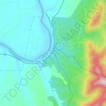
Name: Ingham topographic map, elevation, terrain.

Location: Ingham, Page County, Virginia, 22849, United States (38.50901 -78.59807 38.54901 -78.55807)

Average elevation: 361 m

Minimum elevation: 248 m

Maximum elevation: 728 m

Gear up for your next adventure:

🧥Thermal Fleece Jacket - Versatile insulation for changing mountain temperatures
🥾Waterproof Hiking Boots - Essential footwear for rugged terrain and wet Canadian trails
🧤Rechargeable Heated Gloves - Extreme warmth for Canadian winter expeditions
🥾Hiking Shoes - Durable and comfortable shoes for trail hiking
💡LED Headlamp - Hands-free illumination for night hiking and camping

As an Amazon Associate, this site earns from qualifying purchases at no extra cost to you.