
Vallés topographic map
Interactive map
Click on the map to display elevation.
About this map
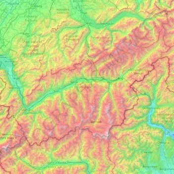
Name: Vallés topographic map, elevation, terrain.
Location: Vallés, Suiza (45.85831 6.77063 46.65405 8.47856)
Average elevation: 1,728 m
Minimum elevation: 190 m
Maximum elevation: 4,728 m
Other topographic maps
Click on a map to view its topography, its elevation and its terrain.
Saint-Gingolph
Suiza > Vallés > Monthey > Saint-Gingolph
Saint-Gingolph, Monthey, Vallés, 1898, Suiza
Average elevation: 1,104 m