
Oosthuizen topographic map
Interactive map
Click on the map to display elevation.
About this map
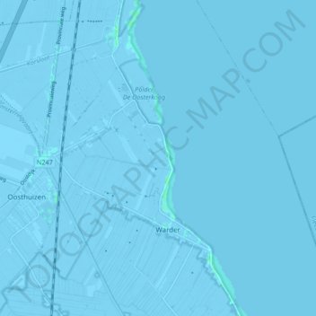
Name: Oosthuizen topographic map, elevation, terrain.
Location: Oosthuizen, Edam-Volendam, Nordholland, Niederlande (52.55345 4.97649 52.59731 5.06043)
Average elevation: -1 m
Minimum elevation: -10 m
Maximum elevation: 3 m
Other topographic maps
Click on a map to view its topography, its elevation and its terrain.
Hobrede
Niederlande > Nordholland > Edam-Volendam
Hobrede, Edam-Volendam, Nordholland, Niederlande
Average elevation: -2 m