
Ségou topographic map
Interactive map
Click on the map to display elevation.
About this map
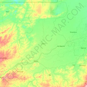
Name: Ségou topographic map, elevation, terrain.
Location: Ségou, Mali (12.54940 -7.08100 15.55300 -3.95800)
Average elevation: 293 m
Minimum elevation: 249 m
Maximum elevation: 494 m
Other topographic maps
Click on a map to view its topography, its elevation and its terrain.