Geolocate

Hacklinge topographic map

Click on the map to display elevation.

About this map

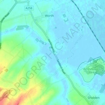
Name: Hacklinge topographic map, elevation, terrain.

Location: Hacklinge, Worth, Dover, Kent, England, CT14 0AT, United Kingdom (51.22221 1.33027 51.26221 1.37027)

Average elevation: 10 m

Minimum elevation: -3 m

Maximum elevation: 57 m

Gear up for your next adventure:

🧼Travel Hand Sanitizer - Keep hands clean when water is scarce
🥘Camping Cookware Set - Compact nesting pots and pans for trail cooking
🧭GPS Handheld Device - Reliable GPS navigation for outdoor adventures
💡LED Headlamp - Hands-free illumination for night hiking and camping
🥾Durable Hiking Shoes - Long-lasting shoes for frequent hiking

As an Amazon Associate, this site earns from qualifying purchases at no extra cost to you.