Geolocate

Upper Northfield topographic map

Click on the map to display elevation.

About this map

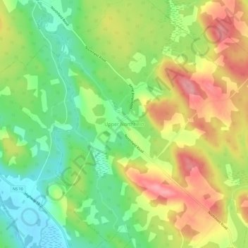
Name: Upper Northfield topographic map, elevation, terrain.

Location: Upper Northfield, Lunenburg County, Nova Scotia, Canada (44.48765 -64.64141 44.52765 -64.60141)

Average elevation: 83 m

Minimum elevation: 31 m

Maximum elevation: 142 m

Nova Scotia trails, hiking, mountain biking, running and outdoor activities

Gear up for your next adventure:

💡LED Camping Lantern - Illuminate your campsite with long-lasting lanterns
🧤Rechargeable Heated Gloves - Extreme warmth for Canadian winter expeditions
🚲MTB Frame Bag - Carry tools and maps directly on your bicycle frame
🥤Collapsible Travel Cup - Saves space and weight in your mess kit
🔦LED Flashlight - Powerful and long-lasting flashlight for camping and emergencies

As an Amazon Associate, this site earns from qualifying purchases at no extra cost to you.