
Tomahawk topographic map
Click on the map to display elevation.
About this map
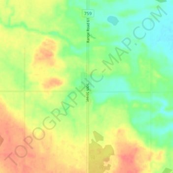
Name: Tomahawk topographic map, elevation, terrain.
Location: Tomahawk, Parkland County, Alberta, T0E 2B0, Canada (53.37690 -114.78366 53.41690 -114.74366)
Average elevation: 773 m
Minimum elevation: 747 m
Maximum elevation: 802 m
Parkland County trails, hiking, mountain biking, running and outdoor activities