Geolocate

Enekullen topographic map

Click on the map to display elevation.

About this map

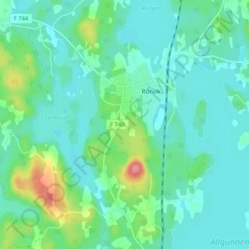
Name: Enekullen topographic map, elevation, terrain.

Location: Enekullen, Rörvik, Sävsjö kommun, 570 01, Sweden (57.21187 14.55088 57.25187 14.59088)

Average elevation: 219 m

Minimum elevation: 200 m

Maximum elevation: 287 m

Gear up for your next adventure:

🔨Vehicle Emergency Tool - Safety tool for remote road trips to trailheads
🥾Mountain Hiking Boots - High-traction boots for rocky terrain
Family Camping Tent - Spacious tent suitable for family camping trips
🧶550 Survival Paracord - Versatile utility cord for emergency repairs and rigging
🧰Survival Kit - Essential gear for emergencies in the wilderness

As an Amazon Associate, this site earns from qualifying purchases at no extra cost to you.