Geolocate

Lac Pioui topographic map

Click on the map to display elevation.

About this map
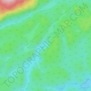
Name: Lac Pioui topographic map, elevation, terrain.

Location: Lac Pioui, Sept-Îles, Sept-Rivières, Côte-Nord, Québec, Canada (50.29723 -66.49508 50.29909 -66.49245)

Average elevation: 128 m

Minimum elevation: 67 m

Maximum elevation: 303 m

Other topographic maps

Click on a map to view its topography, its elevation and its terrain.

Clarke City

Canada > Québec > Sept-Rivières > Sept-Îles

Average elevation: 51 m

Lac des Rapides

Canada > Québec > Sept-Rivières > Sept-Îles

Average elevation: 199 m

Lac-Labrie

Canada > Québec > Sept-Rivières > Sept-Îles

Average elevation: 101 m

Gallix

Canada > Québec > Sept-Rivières > Sept-Îles

Average elevation: 10 m

belevédère

Canada > Québec > Sept-Rivières > Sept-Îles

Average elevation: 10 m

Gear up for your next adventure:

🥾Mountaineering Boots - Supportive boots for climbing and high-altitude hiking
💧Hydration Bladder - Hands-free hydration solution for long treks
🧤Rechargeable Heated Gloves - Extreme warmth for Canadian winter expeditions
👟Sport Hiking Sandals - Breathable footwear for water crossings and camp rest
🧥Packable Rain Jacket - Breathable waterproof layer for unpredictable weather

As an Amazon Associate, this site earns from qualifying purchases at no extra cost to you.