
Dannemora topographic map
Click on the map to display elevation.
About this map
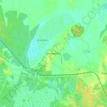
Name: Dannemora topographic map, elevation, terrain.
Location: Dannemora, Östhammars kommun, Uppsala County, 74830, Sweden (60.18327 17.83991 60.22327 17.87991)
Average elevation: 28 m
Minimum elevation: 16 m
Maximum elevation: 52 m