Geolocate

Winterschneidbach topographic map

Click on the map to display elevation.

About this map
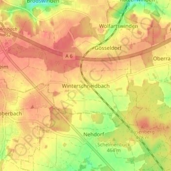
Name: Winterschneidbach topographic map, elevation, terrain.

Location: Winterschneidbach, Ansbach, Bayern, 91522, Deutschland (49.22360 10.60157 49.26360 10.64157)

Average elevation: 465 m

Minimum elevation: 427 m

Maximum elevation: 484 m

Other topographic maps

Click on a map to view its topography, its elevation and its terrain.

91522

Deutschland > Bayern > Ansbach

Average elevation: 451 m

Gear up for your next adventure:

🧳Compression Sacks - Maximize space in your backpack by shrinking gear
🪜Heavy Duty Carabiners - Multi-use clips for securing gear to your backpack
🧥Waterproof Jacket - Lightweight rain jackets for hiking and outdoor activities
🪑Insulated Seat Pad - Protect your seat from cold rocks and wet logs
🕶️Polarized Sunglasses - Reduces glare from snow and water at high elevations

As an Amazon Associate, this site earns from qualifying purchases at no extra cost to you.