Geolocate

Eccleshill topographic map

Click on the map to display elevation.

About this map

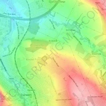
Name: Eccleshill topographic map, elevation, terrain.

Location: Eccleshill, Lower Darwen, Blackburn with Darwen, England, United Kingdom (53.69666 -2.47078 53.71690 -2.43263)

Average elevation: 184 m

Minimum elevation: 118 m

Maximum elevation: 265 m

Other topographic maps

Click on a map to view its topography, its elevation and its terrain.

Gear up for your next adventure:

🥾Trekking Poles - Adjustable trekking poles to reduce knee stress and improve stability
💡Portable Camping Lamp - Rechargeable lamp for campsite lighting
🧊Insulated Water Bottle - Keeps drinks cold in summer and prevents freezing in winter
💧Hydration Pack - Hands-free hydration system for long hikes
🧰Emergency Multi-Tool - Compact multi-tool for outdoor survival

As an Amazon Associate, this site earns from qualifying purchases at no extra cost to you.