Geolocate

dalmota topographic map

Click on the map to display elevation.

About this map

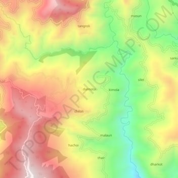
Name: dalmota topographic map, elevation, terrain.

Location: dalmota, Pauri, Pauri Garhwal, Uttarakhand, 246113, India (30.02848 78.73628 30.06848 78.77628)

Average elevation: 1,494 m

Minimum elevation: 1,056 m

Maximum elevation: 1,889 m

Gear up for your next adventure:

👟Sport Hiking Sandals - Breathable footwear for water crossings and camp rest
🧥Waterproof Pants - Keep dry during rainy hiking conditions
🧶550 Survival Paracord - Versatile utility cord for emergency repairs and rigging
🧴Sunscreen SPF - Broad-spectrum sunscreen for outdoor activities
🚲Handlebar Phone Mount - View topographic-map.com live while cycling

As an Amazon Associate, this site earns from qualifying purchases at no extra cost to you.