Geolocate

Zemen topographic map

Click on the map to display elevation.

About this map

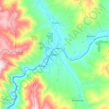
Name: Zemen topographic map, elevation, terrain.

Location: Zemen, Pernik, 2440, Bulgaria (42.43986 22.71030 42.51986 22.79030)

Average elevation: 806 m

Minimum elevation: 567 m

Maximum elevation: 1,244 m

Gear up for your next adventure:

🔥Emergency Fire Starter - Reliable ignition source for all weather conditions
Tent Footprint - Protect tent floor and increase durability
🥾Waterproof Hiking Boots - Boots keeping your feet dry in wet conditions
🧰Emergency Multi-Tool - Compact multi-tool for outdoor survival
🦶Anti-Blister Balm - Prevents friction and hotspots during long ascents

As an Amazon Associate, this site earns from qualifying purchases at no extra cost to you.