

Llannerch-y-Medd topographic map
Click on the map to display elevation.
About this map
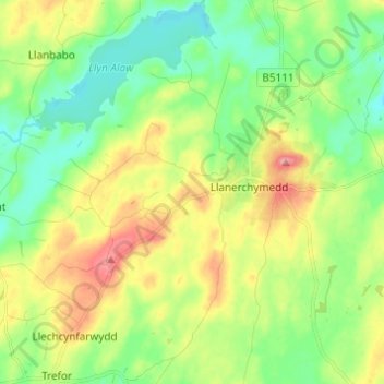
Name: Llannerch-y-Medd topographic map, elevation, terrain.
Location: Llannerch-y-Medd, Isle of Anglesey, Wales, United Kingdom (53.29501 -4.44489 53.35994 -4.32270)
Average elevation: 66 m
Minimum elevation: 31 m
Maximum elevation: 122 m