Geolocate

Shepshed topographic map

Click on the map to display elevation.

About this map

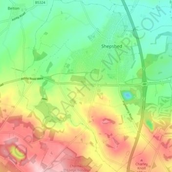
Name: Shepshed topographic map, elevation, terrain.

Location: Shepshed, Charnwood, Leicestershire, England, United Kingdom (52.73395 -1.33507 52.78541 -1.26687)

Average elevation: 111 m

Minimum elevation: 35 m

Maximum elevation: 214 m

Gear up for your next adventure:

Tent Footprint - Protect tent floor and increase durability
🩹Compact First Aid Kit - Pre-packed essentials for common trail injuries
🔨Vehicle Emergency Tool - Safety tool for remote road trips to trailheads
🧥Packable Rain Jacket - Breathable waterproof layer for unpredictable weather
Lightweight Backpacking Tent - Compact tent for efficient hiking trips

As an Amazon Associate, this site earns from qualifying purchases at no extra cost to you.