Geolocate

Miguel Grau topographic map

Click on the map to display elevation.

About this map

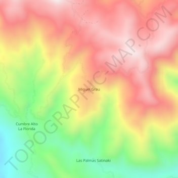
Name: Miguel Grau topographic map, elevation, terrain.

Location: Miguel Grau, Perené, Province of Chanchamayo, Junín, Peru (-10.83374 -75.10051 -10.79374 -75.06051)

Average elevation: 1,322 m

Minimum elevation: 897 m

Maximum elevation: 1,660 m

Gear up for your next adventure:

🧰Survival Kit - Essential gear for emergencies in the wilderness
🕶️Polarized Sunglasses - Protect your eyes with durable polarized lenses
🥾Trekking Poles - Adjustable trekking poles to reduce knee stress and improve stability
🧣Evaporative Cooling Towel - Beat the heat during intense summer climbs
🛏️Sleeping Bag - Warm and compact sleeping bags for outdoor camping

As an Amazon Associate, this site earns from qualifying purchases at no extra cost to you.