Geolocate

Slagtofta topographic map

Click on the map to display elevation.

About this map

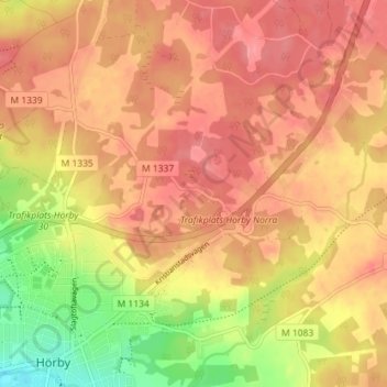
Name: Slagtofta topographic map, elevation, terrain.

Location: Slagtofta, Hörby, Hörby kommun, Skåne County, 242 35, Sweden (55.84852 13.66650 55.88852 13.70650)

Average elevation: 124 m

Minimum elevation: 72 m

Maximum elevation: 151 m

Gear up for your next adventure:

🥫Freeze-Dried Meals - Lightweight, high-calorie nutrition for multi-day treks
Camping Essentials - All-in-one gear for a comfortable camping trip
🚑Survival Whistle - Signal for help across long distances in mountains
🧢Outdoor Visor - Breathable visor for sunny hikes
🦯Trekking Poles - Reduced impact on joints for steep topographic climbs

As an Amazon Associate, this site earns from qualifying purchases at no extra cost to you.