
Sandy Lake topographic map
Interactive map
Click on the map to display elevation.
About this map
Name: Sandy Lake topographic map, elevation, terrain.
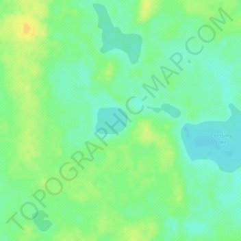
Average elevation: 673 m
Minimum elevation: 662 m
Maximum elevation: 685 m
Municipal District of Wainwright trails, hiking, mountain biking, running and outdoor activities