
Jur topographic map
Interactive map
Click on the map to display elevation.
About this map
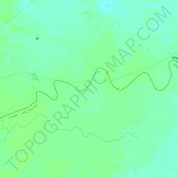
Name: Jur topographic map, elevation, terrain.
Location: Jur, Warrap, South Sudan (8.98764 28.89903 9.04946 29.09234)
Average elevation: 396 m
Minimum elevation: 393 m
Maximum elevation: 399 m
Other topographic maps
Click on a map to view its topography, its elevation and its terrain.