
Ostsee topographic map
Click on the map to display elevation.
About this map
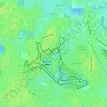
Name: Ostsee topographic map, elevation, terrain.
Location: Ostsee, Britz, Neukölln, Berlin, 12349, Germany (52.43492 13.41816 52.43660 13.42099)
Average elevation: 47 m
Minimum elevation: 39 m
Maximum elevation: 52 m
Other topographic maps
Click on a map to view its topography, its elevation and its terrain.