Geolocate

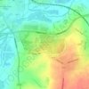
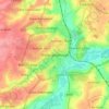
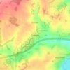
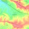
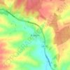
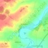
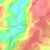
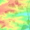
Geddington topographic map

Click on the map to display elevation.

About this map

Name: Geddington topographic map, elevation, terrain.

Location: Geddington, North Northamptonshire, England, United Kingdom (52.42436 -0.73629 52.46378 -0.65450)

Average elevation: 97 m

Minimum elevation: 67 m

Maximum elevation: 123 m

Other topographic maps

Click on a map to view its topography, its elevation and its terrain.
Slade

United Kingdom > England > North Northamptonshire > Orton

Average elevation: 123 m

Corby

United Kingdom > England > North Northamptonshire

Average elevation: 103 m

Corby

United Kingdom > England > North Northamptonshire

Average elevation: 103 m

Corby

United Kingdom > England > North Northamptonshire

Average elevation: 103 m

Corby

United Kingdom > England > North Northamptonshire

Average elevation: 103 m

Gear up for your next adventure:

🧦Hiking Liner Socks - Thin base layer to prevent friction and blisters
🔦LED Flashlight - Powerful and long-lasting flashlight for camping and emergencies
🚲Heavy Duty Bike Lock - Secure your bike at the trailhead or during stops
🧥Waterproof Hiking Jacket - Protect yourself from rain and wind while hiking
🥫Freeze-Dried Meals - Lightweight, high-calorie nutrition for multi-day treks

As an Amazon Associate, this site earns from qualifying purchases at no extra cost to you.