
Hatiya topographic map
Click on the map to display elevation.
About this map
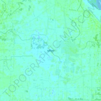
Name: Hatiya topographic map, elevation, terrain.
Location: Hatiya, Noakhali District, Chattogram Division, Bangladesh (22.24773 91.08658 22.32773 91.16658)
Average elevation: 3 m
Minimum elevation: -1 m
Maximum elevation: 7 m
Other topographic maps
Click on a map to view its topography, its elevation and its terrain.
Camp 21
Bangladesh > Chattogram Division > Rohingya Refugee Camp in Bangladesh
Average elevation: 15 m
Chattogram District
Bangladesh > Chattogram Division
The district's topography is primarily defined by a series of low hill ranges running roughly parallel to the coast and with each other. Between these hill ranges are broad alluvial valleys with sandstone bedrock, and they are also divided by several major rivers, namely the Karnaphuli and Sangu. The most…
Average elevation: 28 m