
Järlåsa topographic map
Click on the map to display elevation.
About this map
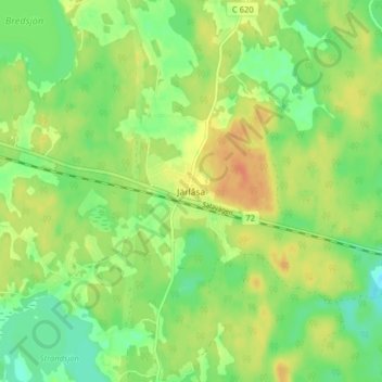
Name: Järlåsa topographic map, elevation, terrain.
Location: Järlåsa, Uppsala kommun, Uppsala County, 740 21, Sweden (59.86691 17.18056 59.90691 17.22056)
Average elevation: 60 m
Minimum elevation: 42 m
Maximum elevation: 78 m
Other topographic maps
Click on a map to view its topography, its elevation and its terrain.