Geolocate

Anchicha topographic map

Click on the map to display elevation.

About this map

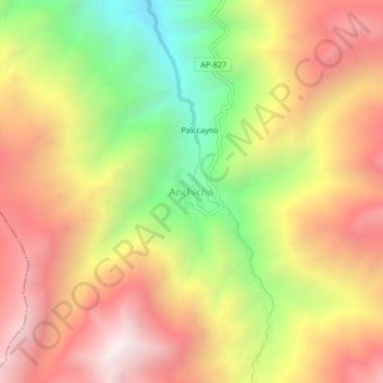
Name: Anchicha topographic map, elevation, terrain.

Location: Anchicha, Chacoche, Province of Abancay, Apurímac, Peru (-14.00446 -73.02697 -13.96446 -72.98697)

Average elevation: 3,877 m

Minimum elevation: 3,090 m

Maximum elevation: 4,536 m

Gear up for your next adventure:

💧Hydration Bladder - Hands-free hydration solution for long treks
🦯Trekking Poles - Reduced impact on joints for steep topographic climbs
📷Outdoor Action Camera - Capture high-elevation views and rugged adventures
🧭GPS Outdoor Watch - Smart watch for navigation and fitness tracking in nature
🔦LED Headtorch - Bright and durable light for night activities

As an Amazon Associate, this site earns from qualifying purchases at no extra cost to you.