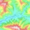
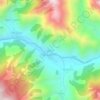
Tatopani topographic map
Click on the map to display elevation.
About this map

Name: Tatopani topographic map, elevation, terrain.
Location: Tatopani, Jumla, Karnali Province, Nepal (28.97129 82.01098 29.29564 82.27809)
Average elevation: 3,331 m
Minimum elevation: 1,750 m
Maximum elevation: 4,771 m
Other topographic maps
Click on a map to view its topography, its elevation and its terrain.