Geolocate

Crowley topographic map

Click on the map to display elevation.

About this map
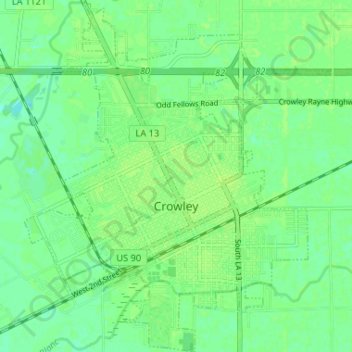
Name: Crowley topographic map, elevation, terrain.

Location: Crowley, Acadia Parish, Louisiana, 70526, United States (30.19065 -92.40266 30.24692 -92.34553)

Average elevation: 7 m

Minimum elevation: 0 m

Maximum elevation: 11 m

Gear up for your next adventure:

💧Filtered Water Bottle - Safe drinking water on the go
🧥Fleece Jacket - Warm and lightweight jacket for layering
🪜Heavy Duty Carabiners - Multi-use clips for securing gear to your backpack
🔭Compact Binoculars - Lightweight optics for scouting trails and wildlife
⛺Lightweight Backpacking Tent - Compact tent for efficient hiking trips

As an Amazon Associate, this site earns from qualifying purchases at no extra cost to you.