Geolocate

Kiritiri topographic map

Click on the map to display elevation.

About this map

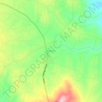
Name: Kiritiri topographic map, elevation, terrain.

Location: Kiritiri, Mbeere South, Embu, Eastern, Kenya (-0.70330 37.63000 -0.66330 37.67000)

Average elevation: 1,152 m

Minimum elevation: 1,058 m

Maximum elevation: 1,285 m

Other topographic maps

Click on a map to view its topography, its elevation and its terrain.

Kindaruma

Kenya > Embu > Mbeere South

Average elevation: 782 m

Gear up for your next adventure:

🍽️Titanium Camping Spork - Ultralight and indestructible eating utensil
🥾Light Hiking Boots - Lightweight and comfortable boots for day hikes
Lightweight Camping Tent - Portable shelter optimized for Canadian backcountry camping
🥾Mountain Hiking Boots - High-traction boots for rocky terrain
🥾All-Terrain Hiking Boots - Versatile boots for varied hiking conditions

As an Amazon Associate, this site earns from qualifying purchases at no extra cost to you.