Geolocate

Morappur topographic map

Click on the map to display elevation.

About this map
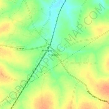
Name: Morappur topographic map, elevation, terrain.

Location: Morappur, Harur, Dharmapuri District, Tamil Nadu, 635305, India (12.10335 78.37733 12.14335 78.41733)

Average elevation: 409 m

Minimum elevation: 387 m

Maximum elevation: 428 m

Other topographic maps

Click on a map to view its topography, its elevation and its terrain.

Harur

India > Tamil Nadu > Harur

The town is in northern Tamil Nadu, with an average elevation of 350 meters (1148 feet).

Average elevation: 356 m

Harur

India > Tamil Nadu > Harur

The town is in northern Tamil Nadu, with an average elevation of 350 meters (1148 feet).

Average elevation: 356 m

Gear up for your next adventure:

🧊Portable Cooler - Keep food and drinks cold during outdoor adventures
🧥Softshell Hiking Jacket - The perfect balance of wind protection and breathability
🔋Lithium AA Batteries - Long-lasting power that performs in extreme cold
🛶Waterproof Dry Bags - Keep electronics and clothes dry during river crossings
🔦UV Flashlight - Detect minerals or specific insects in the dark

As an Amazon Associate, this site earns from qualifying purchases at no extra cost to you.