Geolocate

Wanchese topographic map

Click on the map to display elevation.

About this map
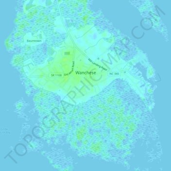
Name: Wanchese topographic map, elevation, terrain.

Location: Wanchese, Dare County, North Carolina, 27981, United States (35.81864 -75.66478 35.86034 -75.61477)

Average elevation: 1 m

Minimum elevation: -5 m

Maximum elevation: 8 m

Gear up for your next adventure:

🏃Hydration Running Vest - Carry water and maps close to your body for speed
🛶Waterproof Dry Bags - Keep electronics and clothes dry during river crossings
🥾Lightweight Hiking Boots - Boots for comfort and mobility on long hikes
🥾Lightweight Hiking Shoes - Comfortable shoes for day hikes
💡LED Camping Lantern - Illuminate your campsite with long-lasting lanterns

As an Amazon Associate, this site earns from qualifying purchases at no extra cost to you.