Geolocate

Duke topographic map

Click on the map to display elevation.

About this map
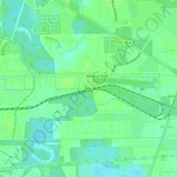
Name: Duke topographic map, elevation, terrain.

Location: Duke, Arcola, Fort Bend County, Texas, 77545, United States (29.48468 -95.50605 29.52468 -95.46605)

Average elevation: 20 m

Minimum elevation: 14 m

Maximum elevation: 25 m

Gear up for your next adventure:

🔦UV Flashlight - Detect minerals or specific insects in the dark
🧢Hiking Hat - Sun-protective and breathable hats for long treks
🔭Compact Binoculars - Lightweight optics for scouting trails and wildlife
🧦Thermal Socks - Warm socks for winter hiking or camping
❄️Traction Ice Cleats - Slip-on spikes for icy trails and winter hiking

As an Amazon Associate, this site earns from qualifying purchases at no extra cost to you.