
Palas de Rei topographic map
Interactive map
Click on the map to display elevation.
About this map
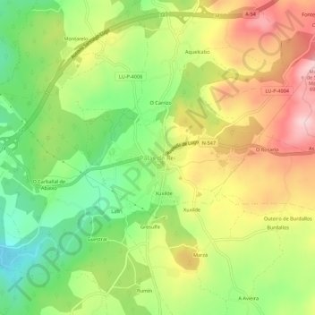
Name: Palas de Rei topographic map, elevation, terrain.
Location: Palas de Rei, Ulloa, Lugo, Galicia, 27200, España (42.85391 -7.88980 42.89391 -7.84980)
Average elevation: 560 m
Minimum elevation: 445 m
Maximum elevation: 690 m
Other topographic maps
Click on a map to view its topography, its elevation and its terrain.