Geolocate

Rumsey topographic map

Click on the map to display elevation.

About this map

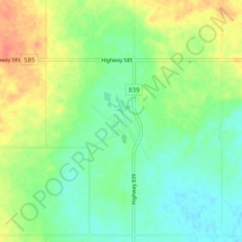
Name: Rumsey topographic map, elevation, terrain.

Location: Rumsey, Starland County, Alberta, Canada (51.82254 -112.86322 51.86254 -112.82322)

Average elevation: 845 m

Minimum elevation: 826 m

Maximum elevation: 874 m

Starland County trails, hiking, mountain biking, running and outdoor activities

Gear up for your next adventure:

🌬️Windproof Camp Stove - Efficient cooking even on exposed mountain peaks
🔋Solar Power Bank - Keep your GPS and devices charged during long outdoor trips
🧭Orienteering Kit - Tools for map reading and navigation in the wild
🛶Kayak Dry Bag - Waterproof storage for kayaking adventures
🧥Thermal Layer - Insulating layer for cold outdoor conditions

As an Amazon Associate, this site earns from qualifying purchases at no extra cost to you.