
Smithville topographic map
Click on the map to display elevation.
About this map
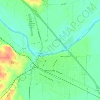
Name: Smithville topographic map, elevation, terrain.
Location: Smithville, Bastrop County, Texas, 78957, United States (29.99144 -97.17709 30.04010 -97.11988)
Average elevation: 100 m
Minimum elevation: 81 m
Maximum elevation: 139 m
Other topographic maps
Click on a map to view its topography, its elevation and its terrain.