Geolocate

Cabreiroá topographic map

Click on the map to display elevation.

About this map

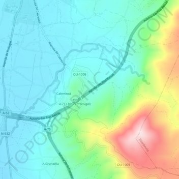
Name: Cabreiroá topographic map, elevation, terrain.

Location: Cabreiroá, Verín, Orense, Galicia, España (41.90097 -7.44259 41.93312 -7.39405)

Average elevation: 469 m

Minimum elevation: 368 m

Maximum elevation: 761 m

Other topographic maps

Click on a map to view its topography, its elevation and its terrain.

Sandianes

España > Galicia > Verín > Verín

Average elevation: 402 m

Gear up for your next adventure:

Camping Tent - Weather-resistant tents suitable for 2 to 6 people
🥾Lightweight Hiking Shoes - Comfortable shoes for day hikes
🕯️Camping Lantern - Illuminates your entire campsite with high-efficiency LEDs
🌬️Windproof Camp Stove - Efficient cooking even on exposed mountain peaks
🧭Orienteering Kit - Tools for map reading and navigation in the wild

As an Amazon Associate, this site earns from qualifying purchases at no extra cost to you.