Geolocate

Holmes Beach topographic map

Click on the map to display elevation.

About this map

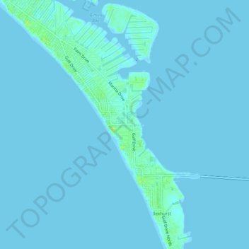
Name: Holmes Beach topographic map, elevation, terrain.

Location: Holmes Beach, Manatee County, Florida, United States (27.48456 -82.73075 27.52713 -82.70147)

Average elevation: 1 m

Minimum elevation: -2 m

Maximum elevation: 11 m

Other topographic maps

Click on a map to view its topography, its elevation and its terrain.

Longboat Key

United States > Florida > Manatee County

Average elevation: 1 m

Parrish

United States > Florida > Manatee County

Average elevation: 12 m

Gear up for your next adventure:

💡LED Camping Lantern - Illuminate your campsite with long-lasting lanterns
🏕️Camping Hammock - Integrated protection for sleeping between trees
🧤Rechargeable Heated Gloves - Extreme warmth for Canadian winter expeditions
🧴Insect Repellent - Protect yourself from bugs during outdoor adventures
🕶️Polarized Sunglasses - Reduces glare from snow and water at high elevations

As an Amazon Associate, this site earns from qualifying purchases at no extra cost to you.