Geolocate

Maarssen topographic map

Click on the map to display elevation.

About this map

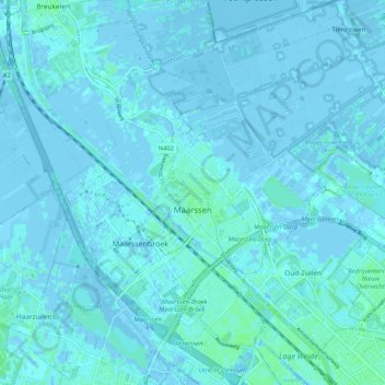
Name: Maarssen topographic map, elevation, terrain.

Location: Maarssen, Stichtse Vecht, Utrecht, Netherlands (52.11672 5.00257 52.16599 5.10558)

Average elevation: 1 m

Minimum elevation: -5 m

Maximum elevation: 5 m

Other topographic maps

Click on a map to view its topography, its elevation and its terrain.

Palestina

Netherlands > Utrecht > Amersfoort

Average elevation: 2 m

Breedeveen

Netherlands > Utrecht > Leersum

Average elevation: 15 m

Cabauw

Netherlands > Utrecht

Average elevation: -1 m

Amerongse Berg

Netherlands > Utrecht > Amerongen

Average elevation: 34 m

Eembrugge

Netherlands > Utrecht > Baarn

Average elevation: 1 m

Graaf

Netherlands > Utrecht > Lopik

Average elevation: 0 m

Gear up for your next adventure:

🧥Fleece Jacket - Warm and lightweight jacket for layering
🧣Evaporative Cooling Towel - Beat the heat during intense summer climbs
💡Solar Camping Lamp - Eco-friendly lighting for campsites
🥘Camping Cookware Set - Compact nesting pots and pans for trail cooking
🥾Lightweight Hiking Boots - Boots for comfort and mobility on long hikes

As an Amazon Associate, this site earns from qualifying purchases at no extra cost to you.