Geolocate

Dorset topographic map

Click on the map to display elevation.

About this map

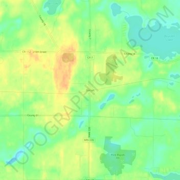
Name: Dorset topographic map, elevation, terrain.

Location: Dorset, Hubbard County, Minnesota, United States (46.93635 -94.97252 46.97635 -94.93252)

Average elevation: 445 m

Minimum elevation: 428 m

Maximum elevation: 463 m

Other topographic maps

Click on a map to view its topography, its elevation and its terrain.

Park Rapids

United States > Minnesota > Hubbard County

Average elevation: 439 m

Akeley

United States > Minnesota > Hubbard County

Average elevation: 431 m

Laporte

United States > Minnesota > Hubbard County

Average elevation: 410 m

Gear up for your next adventure:

🥾Lightweight Hiking Boots - Boots for comfort and mobility on long hikes
Backpacking Tent - Lightweight tent for long-distance hiking trips
🧢Outdoor Visor - Breathable visor for sunny hikes
🥾Hiking Gaiters - Protect legs and shoes from mud, snow, and debris
🏕️Camping Hammock - Integrated protection for sleeping between trees

As an Amazon Associate, this site earns from qualifying purchases at no extra cost to you.