Geolocate

Beacon Wood topographic map

Click on the map to display elevation.

About this map

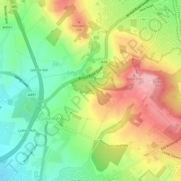
Name: Beacon Wood topographic map, elevation, terrain.

Location: Beacon Wood, Lickey and Blackwell CP, Lydiate Ash, Bromsgrove, Worcestershire, England, United Kingdom (52.37836 -2.03909 52.38270 -2.02356)

Average elevation: 210 m

Minimum elevation: 137 m

Maximum elevation: 298 m

Other topographic maps

Click on a map to view its topography, its elevation and its terrain.

Gear up for your next adventure:

🕯️Camping Lantern - Illuminates your entire campsite with high-efficiency LEDs
👟Trail Running Shoes - Agile footwear for fast-paced topographic exploration
🥾Trail Hiking Shoes - Durable shoes designed for rugged trails
💡LED Headlamp - Hands-free illumination for night hiking and camping
🔭Outdoor Binoculars - Lightweight binoculars for birdwatching and hiking

As an Amazon Associate, this site earns from qualifying purchases at no extra cost to you.