
Elspeet topographic map
Interactive map
Click on the map to display elevation.
About this map
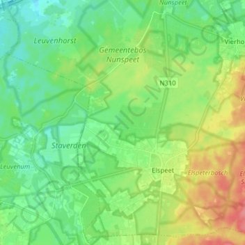
Name: Elspeet topographic map, elevation, terrain.
Location: Elspeet, Nunspeet, Geldern, Niederlande (52.26715 5.72425 52.34536 5.85216)
Average elevation: 29 m
Minimum elevation: 6 m
Maximum elevation: 72 m
Other topographic maps
Click on a map to view its topography, its elevation and its terrain.
Vierhouten
Niederlande > Geldern > Nunspeet
Vierhouten, Nunspeet, Geldern, Niederlande
Average elevation: 32 m