
Silver Creek Conservation Area topographic map
Interactive map
Click on the map to display elevation.
About this map
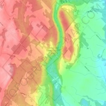
Name: Silver Creek Conservation Area topographic map, elevation, terrain.
Average elevation: 320 m
Minimum elevation: 250 m
Maximum elevation: 376 m
Halton Region trails, hiking, mountain biking, running and outdoor activities
Other topographic maps
Click on a map to view its topography, its elevation and its terrain.
Bronte Creek Provincial Park day-use only area
Canada > Ontario > Halton Region > Oakville
Average elevation: 136 m