Geolocate

Poorman Hill topographic map

Click on the map to display elevation.

About this map
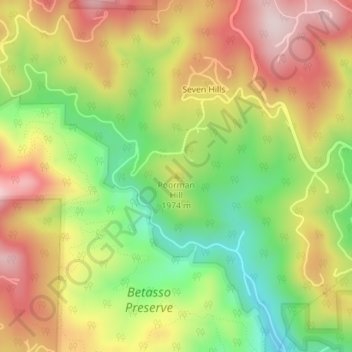
Name: Poorman Hill topographic map, elevation, terrain.

Location: Poorman Hill, Boulder County, Colorado, United States (40.03049 -105.33588 40.03059 -105.33578)

Average elevation: 1,945 m

Minimum elevation: 1,756 m

Maximum elevation: 2,131 m

Gear up for your next adventure:

🪑Insulated Seat Pad - Protect your seat from cold rocks and wet logs
💡LED Camping Lantern - Illuminate your campsite with long-lasting lanterns
🔥Emergency Fire Starter - Reliable ignition source for all weather conditions
🌬️Windproof Camp Stove - Efficient cooking even on exposed mountain peaks
🧦Merino Wool Socks - Moisture-wicking comfort for long-distance hiking

As an Amazon Associate, this site earns from qualifying purchases at no extra cost to you.